
Designing for the Day the Landscape Moves
The mountain is no longer background
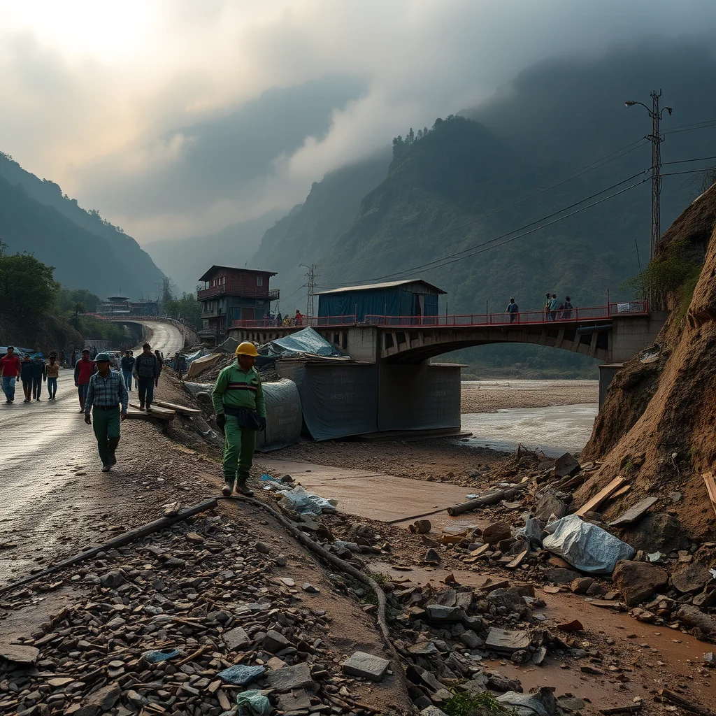
On Wednesday, August 26, a lower section of a Himalayan glacier reportedly collapsed above the Lhende River valley on the Nepal–Tibet border. Ice and rock surged into the river system, generating flash floods that tore through villages and followed the Trishuli River basin. At least 350 people were confirmed dead, while more than 1,300 remained missing in the first assessments. The districts of Rasuwa and Nuwakot were among the hardest hit.
The numbers are devastating. The spatial lesson is even more destabilising: infrastructure that appeared remote, permanent and safely separated from the glacier was suddenly placed inside the glacier’s event system. A road became a channel. A bridge became a dam. A settlement became debris. The disaster did not respect the boundaries between mountain, river, village and transport network because those boundaries were always administrative fictions.
Architecture has traditionally treated resilience as a property of individual objects. Raise the plinth. Strengthen the column. Specify a flood-resistant material. Add a retaining wall. These measures remain useful, but they are inadequate when the hazard is not a single flood. A glacier collapse can trigger an avalanche, a flood surge, bank erosion, bridge failure, landslides, toxic sediment flows, road isolation and a second wave of displacement. The real design brief is not resistance to water. It is survival through sequence.
This is the moment to stop designing buildings as if the landscape were stable ground. In the Himalayas, and increasingly everywhere else, the landscape is an active machine. It stores heat, ice, water and rock, then releases them without consulting a zoning map.
Resilience standards are built for yesterday’s disaster
Most building codes are calibrated around known thresholds: a one-in-100-year flood, a specified wind speed, a seismic acceleration, a maximum snow load. Such standards are valuable political tools because they make risk legible. But they also create dangerous confidence. A structure can comply perfectly and still fail because the event that destroys it is not the event used to calculate it.
The Lhende River catastrophe demonstrates the problem. Flash floods are defined by their speed, often arriving within six hours of intense rainfall or another sudden water source. A glacier collapse compresses that window further and adds solid mass to the flow. The result is not simply high water. It is a moving wall of ice, boulders, timber, mud and broken infrastructure. Conventional flood design tends to imagine water passing around a building. Glacial outburst events can carry the mountain through it.
Engineers have long understood related risks. Japan’s sabo infrastructure uses check dams and sediment-control systems to interrupt debris flows, while Switzerland’s mountain settlements combine avalanche galleries, hazard mapping and strict construction controls. These are not decorative gestures of resilience; they are territorial systems. Yet importing isolated technical devices into Nepal will not be enough. A check dam cannot compensate for a settlement permitted directly in a future channel, and a reinforced bridge cannot save a community whose only evacuation route crosses that bridge.
Climate instability is also invalidating the idea that historical data can reliably predict future extremes. The heat wave scenarios linked to the Himalayan collapse are a warning that glaciers are not passive reservoirs. They are changing structures with their own failure modes. Codes must therefore become adaptive documents, revised through satellite observation, local testimony, glacial monitoring and post-disaster evidence. Static compliance is not preparedness. It is a snapshot pretending to be a strategy.
Design the settlement as an evacuation instrument
The first architectural task is to redraw the map. Hazard maps should not merely identify a red zone and a safe zone; they should model pathways, velocities, bottlenecks and cascading failures. Where does water go if the first bridge blocks the channel? Which school becomes a shelter if the road to the district centre is cut? How many people can move uphill at night, in rain, without vehicles? Which buildings remain usable when electricity and mobile networks disappear?
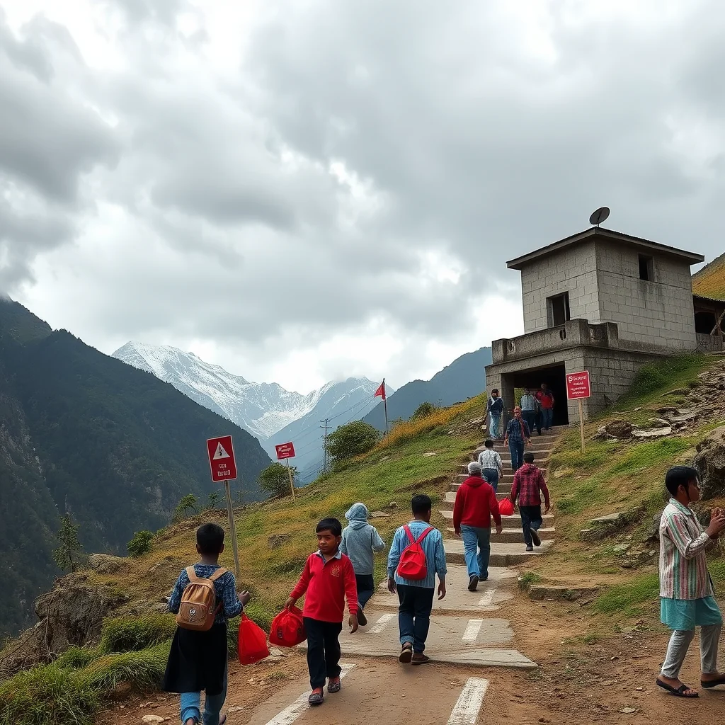
These questions point toward a different settlement model. Critical facilities in mountain valleys should be placed on elevated terraces or ridges, connected by multiple routes and designed to operate autonomously for several days. Schools, health posts and community halls can become distributed refuge nodes, equipped with stored water, solar power, radio communication, dry food and modular sanitation. This approach echoes the idea of schools as civic infrastructure rather than isolated buildings. Their architecture should make the emergency function visible rather than hiding it in a technical room: raised storage, wide stairways, roof access, durable external ramps and clear night-time lighting.
Bangladesh’s cyclone shelters offer an instructive precedent, not because a coastal shelter can be copied into the Himalayas, but because the building is designed as civic infrastructure before it is needed as emergency infrastructure. Japan’s evacuation towers similarly demonstrate that a refuge must be close, recognisable and accessible under panic. In the Himalayan context, a shelter cannot be an abstract object at the end of a dangerous road. It must be embedded in everyday life and placed along routes people already understand.
Settlement planning should also treat roads as instruments of evacuation rather than only conduits for commerce. A road may need sacrificial sections designed to fail away from populated areas, culverts sized for sediment as well as water, and alternate footpaths above the valley floor. Bridges should be designed with visible failure points, detachable utility lines and redundant crossings. The goal is not to guarantee that every piece of infrastructure survives. The goal is to ensure that the failure of one piece does not become the failure of everyone.
Make infrastructure fail deliberately
There is an uncomfortable but essential distinction between robust infrastructure and intelligent infrastructure. Robust infrastructure attempts to withstand maximum force. Intelligent infrastructure anticipates its own failure and prevents that failure from cascading. In a moving landscape, the second ambition is often more realistic.
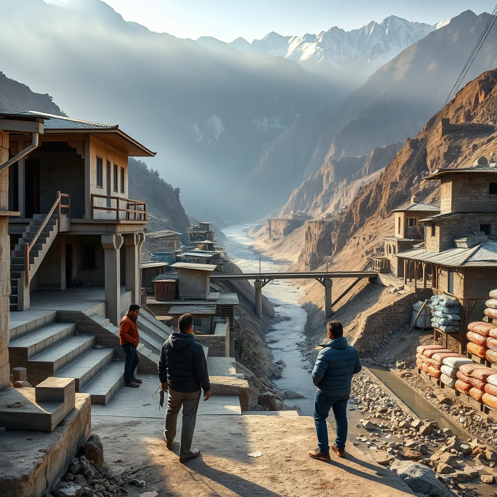
Consider a bridge across the Trishuli basin. Its design should account not only for hydraulic pressure but also for impact from boulders, logs and upstream debris. It might include replaceable sacrificial elements, foundations positioned outside likely scour zones, and a parallel pedestrian crossing on higher ground. Water, power and telecommunications should not all be attached to the same vulnerable span. Such redundancy can appear inefficient during normal operations. After a flood, it becomes the difference between a delayed recovery and a humanitarian disaster.
The Melamchi water project in Nepal, damaged by severe floods and debris flows in 2021, is a reminder that major infrastructure can be overwhelmed by compound mountain events. The lesson is not to abandon ambitious infrastructure. It is to stop evaluating it as a singular engineering object. A water plant, hydropower route or highway should be assessed as part of a chain that includes slopes, tributaries, quarries, settlements, maintenance access and emergency logistics.
Landscape architecture has a role here that is larger than planting. Designers such as Kate Orff and the SCAPE practice have argued for infrastructural landscapes that absorb, redirect and communicate environmental risk. In the Himalayas, that could mean widening flood corridors, restoring riparian forests, creating sediment basins and shaping public terraces that double as evacuation routes. The landscape should not be beautified after the engineering is complete. It should perform the engineering, much like the public landscapes that combine civic space with infrastructural performance.
Warnings must become spatial, not merely digital
Early-warning systems are often celebrated as a technological solution, but an alert is only useful if people know what to do next. A siren without a route is noise. A text message without network coverage is a fiction. A satellite prediction without trusted local interpreters is an expensive abstraction.
Warning architecture should be physical, redundant and culturally specific. Valleys need sirens powered independently of the grid, colour-coded route markers visible in fog and darkness, public noticeboards, radio protocols and regular evacuation drills. Every household should know the nearest high-ground refuge, the safest route and the location of emergency supplies. In remote districts, local teachers, health workers, guides and religious leaders may be more trusted than a distant agency. Their knowledge should be built into the system rather than treated as anecdotal.
Monitoring must connect directly to design decisions. ICIMOD and other regional research organisations have expanded the use of satellite observation and geospatial analysis across the Hindu Kush Himalaya, but information cannot remain inside specialist dashboards. If a glacial lake expands, a road should be reassessed. If a slope shows accelerating movement, a school should have a relocation protocol. If a bridge becomes a bottleneck in simulations, its replacement should be funded before the next event, not after the memorials.
Evacuation drills also expose architectural arrogance. Designers often assume that people move like dots in a computer model. Real evacuations involve children, older people, livestock, possessions, disability, fear and conflicting information. Routes must be tested by the people who will use them. A plan that works for a fit engineer in daylight may fail for a grandmother carrying a child through mud at 3 a.m.
Relocation is not failure; refusing it is
The most provocative implication is that some places should not be rebuilt. After every disaster, political pressure pushes reconstruction toward the old footprint because land ownership, memory and access to livelihoods are concentrated there. But rebuilding a village in the same debris path and calling it resilience is not compassion. It is institutionalised repetition.
Relocation must not mean abandoning communities to a remote apartment block with no farms, schools or work. It should be designed as a negotiated territorial transition: new housing, agricultural access, transport links, public facilities, cultural continuity and compensation developed together. This broader understanding of place reflects the principles explored in belonging as a design brief in architecture. The relocation of Newtok in Alaska, although driven by coastal erosion rather than glacial collapse, shows how difficult and prolonged this process can be. It also shows that moving a settlement is not simply a construction project; it is a social and logistical one.
For Himalayan communities, incremental relocation may be more viable than a single master-planned town. Homes could move first, followed by schools and clinics, while old sites become monitored flood corridors or seasonal agricultural zones. Vernacular knowledge should not be romanticised, but it should be taken seriously: building orientation, material repair, livestock movement and customary routes may contain survival intelligence that formal plans overlook.
Architects must therefore become advocates for managed retreat when evidence demands it. The profession cannot continue to treat every parcel as developable and every community as permanently fixed. A landscape that moves requires a politics of movement, including the right to leave before the river makes the decision.
Architecture after the fixed ground
The Himalayan glacier collapse should change what counts as a successful project. Success is not a building that looks intact in a rendering or passes a code review. It is a settlement that can absorb warning, move people quickly, lose selected components without losing its social life, and recover without waiting months for a single road to reopen.
This demands collaboration among architects, geologists, hydrologists, emergency planners, local governments and residents. It demands procurement systems that reward redundancy instead of minimum cost. It demands public investment in monitoring and maintenance, not only dramatic new construction. Most of all, it demands that architecture acknowledge uncertainty as a material condition.
The future will not deliver disasters one at a time. Heat will destabilise ice; ice will mobilise rock; rock will redirect water; water will destroy infrastructure; infrastructure failure will delay evacuation; delayed evacuation will magnify loss. That chain is the real building site. To design for it is not to make architecture fearful or defensive. It is to make architecture honest about the forces it occupies.
The question is no longer whether a building can withstand the landscape. Can we design buildings, settlements and evacuation systems that remain useful when the landscape itself becomes the thing that moves?
Get the Mainifesto weekly — curated design debates, speculative ideas and the week's best articles every Saturday.
Editorial Perspectives
Questions and counterpoints developed by the Mainifesto editorial desk to extend the discussion.
Perspective 1
The choice should not be framed as defend or abandon, but as a staged decision based on hazard maps, evacuation capacity, and the cost of repeated recovery. Some settlements will need managed retreat, but dignity means funding land, services, and livelihoods at the destination—not simply drawing a line around a danger zone.
Perspective 2
You cannot justify rebuilding the same homes after every flood just because relocation is politically difficult. The practical test is total cost: safe access, insurance, utilities, and a viable place to move people, rather than another expensive layer of defensive infrastructure that may fail next season.
Perspective 3
Leaving can be necessary, but “managed retreat” too easily becomes a polished term for dispossession. Before moving a settlement, architects should understand what its streets, rituals, and building practices hold together—and make sure residents control the new place instead of being relocated into a remote, speculative housing scheme.