
A New Capital Is Never Built on Empty Land
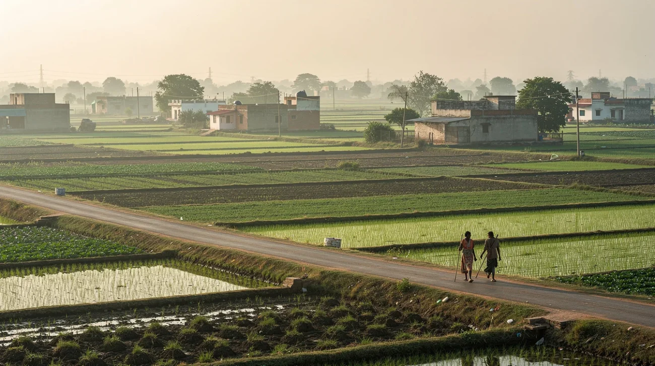
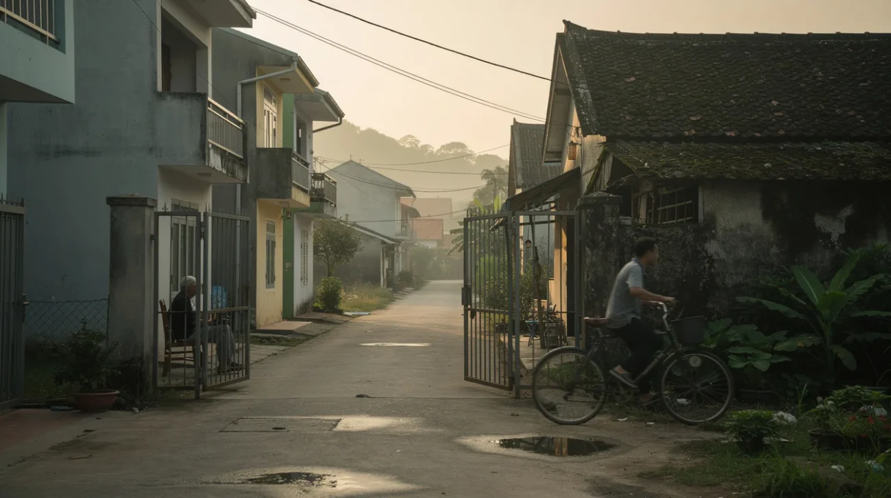
A capital announces itself through architecture: an assembly, a secretariat, an avenue wide enough to make government look inevitable. But the territory around Amaravati, Andhra Pradesh’s planned capital, already possesses an organising intelligence. Fields register seasons and ownership. Villages concentrate work, memory and exchange. Roads and water channels connect settlements to one another and to the Krishna River. As the ArchDaily account underlying this discussion makes clear, the capital is entering an inhabited agricultural landscape, not an architectural vacuum. The dispute is not between planning and its absence. It is between two existing ideas of order—and who gets to declare one obsolete.
PRO: A capital can make the inherited landscape public infrastructure
The strongest argument for Amaravati is not that Andhra Pradesh deserves a monumental skyline. It is that a capital project can coordinate investments that fragmented development rarely delivers: public transport, drainage, schools, civic institutions and accessible open space. Following the state’s bifurcation in 2014, the search for an administrative centre presented a genuine institutional task. Treating that task as nothing more than architectural vanity would be too easy. The question is whether coordination can work with the territory rather than flatten its differences.
Patrick Geddes offers a useful countertradition to the commanding master plan. His insistence on surveying places before intervening in them made settlement, occupation and environmental conditions the substance of planning, not background information. Applied here, that approach would begin with village-to-village journeys, cultivation patterns, drainage routes and the locations where people trade or gather. These would become design constraints with real authority: alignments that new roads must negotiate, connections that public transport should strengthen, and water corridors that construction cannot casually interrupt.
Chandigarh demonstrates the productive side of capital-scale ambition. Its sector system and landscape framework gave civic life an organisation extending beyond Le Corbusier’s monumental Capitol Complex. Amaravati could take the ambition without copying the template. The inherited network could become the city’s first infrastructure, rather than the debris left after its infrastructure arrives.
PRO: Monumentality need not require a cleared stage
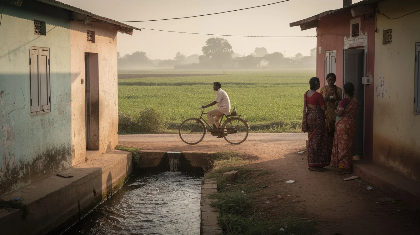
A state capital also needs places where government becomes visible and publicly addressable. Monumentality is not inherently authoritarian; an assembly forecourt can support collective presence as well as official ceremony. Louis Kahn’s National Assembly complex in Dhaka shows how water, mass and spatial sequence can give government an unmistakable architectural identity. The lesson is not to borrow its geometry. It is that civic architecture can derive force from its relationship to a landscape rather than from height or visual novelty alone.
For Amaravati, this suggests a different competition brief. Ask architects how an administrative precinct meets a village street, how shaded pedestrian routes connect to everyday destinations, and how public space behaves during heavy rain. A ceremonial axis might terminate in a working river landscape rather than a freestanding icon. Waterfront renewal must also protect public access rather than create pay-to-stay spaces. A market could remain an urban anchor instead of being displaced by a decorative plaza. Retaining cultivation in selected areas could preserve productive land, provided farmers retain workable access, water and meaningful control.
The capital’s land-pooling approach offers a possible mechanism for participation: landowners contribute agricultural land and receive smaller serviced plots, alongside compensation provisions. In principle, this links existing owners to future urban value rather than simply buying them out. Its promise depends on delivery, timing and distribution. Nevertheless, a master plan able to negotiate ownership, infrastructure and village continuity could build a civic identity rooted in participation—not merely advertise one through architecture.
CONTRA: The master plan can turn continuity into scenery
The strongest objection is that capital-making rewards precisely the simplifications that such sensitivity seeks to resist. A government wants a recognisable image. Designers need a coherent composition. Development finance favours parcels with clear access, predictable servicing and marketable addresses. Against those demands, an irregular village lane or seasonally productive field is easily recast as an inconvenience. The landscape may remain green in the rendering while losing the relationships that made it productive.
James C. Scott’s critique of high-modernist planning is useful here: administrative legibility can become a substitute for understanding. A field coloured as future open space is visually preserved but functionally transformed. A village outlined as a retained settlement may survive on paper while surrounding roads sever its walking routes. An irrigation channel absorbed into a landscaped promenade might keep its shape yet lose access for maintenance or its agricultural purpose. Keeping an object is not the same as sustaining a network.
Brasília supplies the warning. Lúcio Costa’s Plano Piloto and Oscar Niemeyer’s civic buildings produced an extraordinary national image, but metropolitan life and housing needs extended far beyond the monumental core. Architectural coherence did not guarantee social inclusion. Amaravati risks a comparable division if the capital’s representative spaces receive concentrated investment while existing settlements are treated as residual pockets awaiting eventual redevelopment. An impressive centre can coexist with a deeply unequal city.
CONTRA: Land value cannot stand in for a livelihood
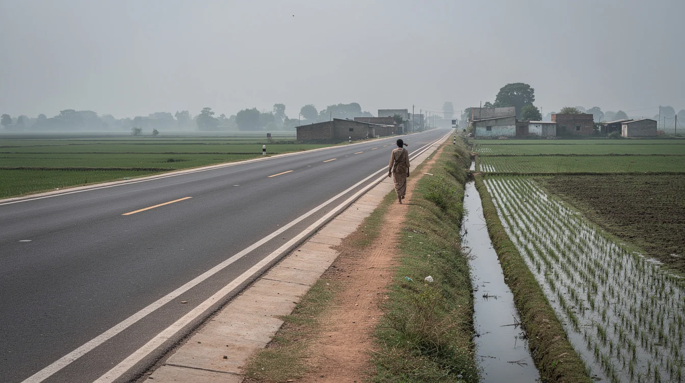
Land pooling also exposes a difficult distinction between owning territory and inhabiting it. A landowner may acquire a future stake in serviced urban plots. A tenant cultivator, agricultural labourer or trader dependent on seasonal farm incomes occupies a different position. Even where assistance exists, it does not automatically reproduce a livelihood. Compensation framed around property can undervalue the people whose claims are expressed through work, access and use rather than a title deed.
Nor does a future plot necessarily replace present income. Infrastructure delivery takes time; construction markets fluctuate; households have unequal capacity to wait or invest. The question of who bears the costs of urban transition is therefore central. The benefits of urbanisation therefore cannot be measured only by projected land prices. They must also be assessed through employment continuity, affordable housing, access to services and whether residents can remain near their social networks. Otherwise, the capital asks some people to finance its future with their present security.
The Krishna River’s wider water systems make that bargain ecological as well as economic. Drainage and flood behaviour cannot be settled by a persuasive landscape illustration. Ian McHarg’s Design with Nature provides the sharper standard: environmental processes should help determine where development goes. For Amaravati, inherited networks will genuinely shape the plan only when they can force a road to move, a development parcel to shrink, or a prestigious building to change site. Consultation without that power is stage management. A capital built around existing life must accept limits on its own composition.
FAQ: Amaravati, land and civic identity
Why is Amaravati being planned as a capital?
Andhra Pradesh’s bifurcation in 2014 created the need for a new state administrative centre. Amaravati was selected for that role, making its development both an institutional project and a major transformation of agricultural territory.
What is land pooling in Amaravati?
Under the capital’s land-pooling approach, participating landowners contribute land for development in return for smaller serviced plots and compensation provisions. Its fairness depends on implementation and on how people without land titles are supported.
Can farming coexist with a planned capital?
Yes, but not simply as attractive greenery. Continued farming requires viable parcels, reliable water, access for workers and equipment, and secure arrangements for cultivation. Urban development must accommodate those operating conditions rather than merely preserve agricultural appearances.
How can existing villages meaningfully shape the master plan?
Their routes, services, livelihoods and water relationships must influence binding decisions about streets, development sites and public investment. Participation matters when residents can change proposals, not merely comment on a layout whose principal decisions are already fixed.
If Amaravati’s inherited landscape is allowed to reshape its monumental ambitions, will it become a weaker image of a capital—or a more convincing model of one?
Watch the Mainifesto Short
Get the Mainifesto weekly — curated design debates, speculative ideas and the week's best articles every Saturday.
Editorial Perspectives
Questions and counterpoints developed by the Mainifesto editorial desk to extend the discussion.
Perspective 1
Letting villages, farms and the river reshape the plan would make Amaravati a more convincing capital, not a weaker one. Start by mapping livelihoods, seasonal water flows and existing routes, then make the monumental layout justify every disruption.
Perspective 2
A capital needs a legible civic order, not merely a sympathetic accommodation of what was there before. From L’Enfant’s Washington to Chandigarh, that order required a deliberate break; asking Amaravati’s inherited landscape to lead risks producing a capital that cannot express its public purpose.
Perspective 3
The river, irrigation networks and land tenure already form a system; a masterplan cannot simply declare a replacement. The test is who gets to alter the plan when those systems clash with it—village residents or the agencies controlling land and infrastructure budgets.
Perspective 4
Nobody experiences a capital from the aerial rendering. If keeping village streets and local businesses gives people useful, lively places from day one, that is a stronger proposition than waiting years for monumental districts to attract footfall.
Perspective 5
Keeping existing settlements can save replacement costs and preserve local trade, but stitching new roads and utilities around them is not free. I would back a less rigid plan if it comes with clear flood constraints, workable servicing and phases that function before the whole capital is finished.